The Project
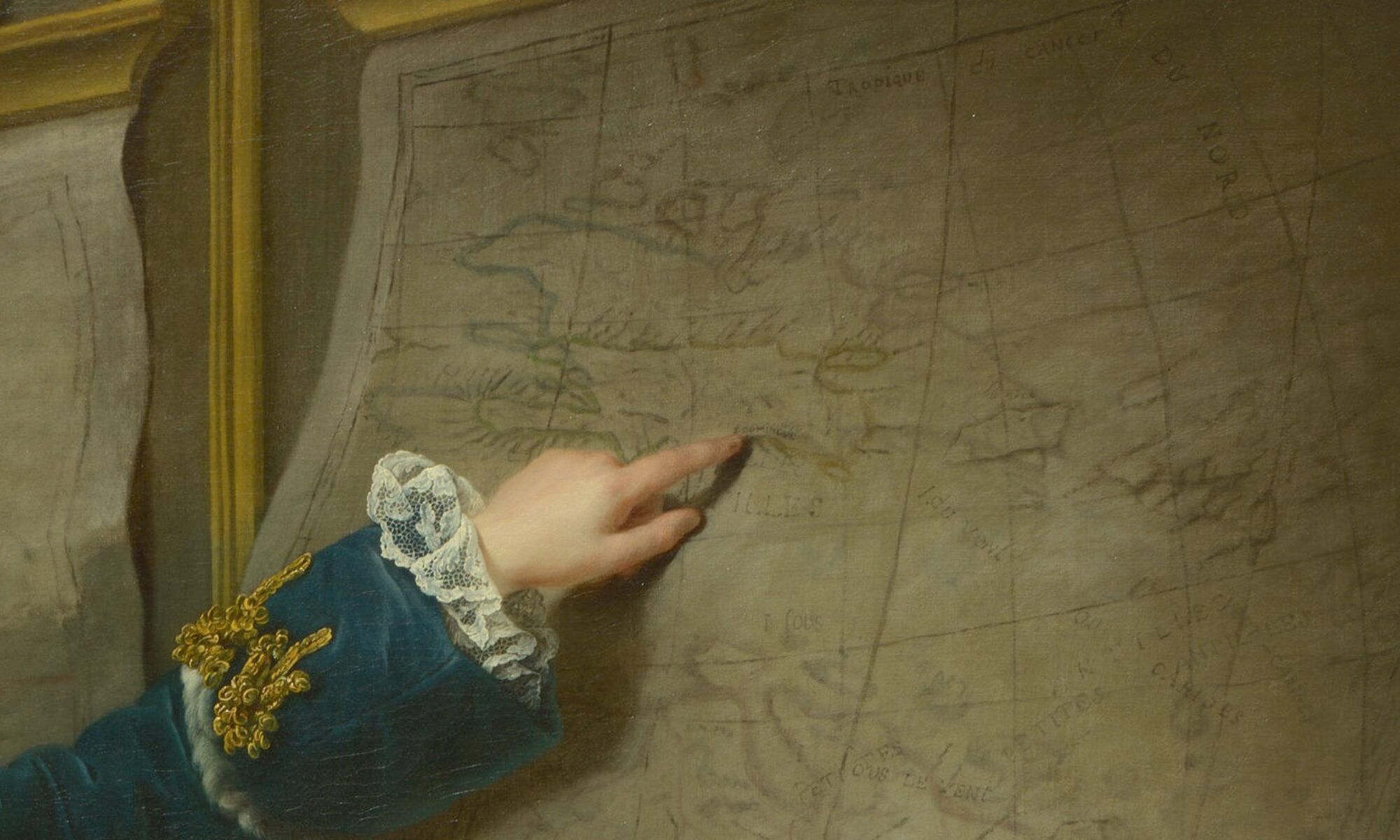
Colonial Networks is a digital decolonial research project that revolves around eighteenth-century French property maps of Haiti/Saint-Domingue. Our goal is to develop a multifaceted digital project that critically re-examines these colonial objects, repopulates them with the Black and Indigenous lives they have erased, and uses them to reveal largely unknown connections between the Paris art world and Haiti/Saint-Domingue. Colonial Networks focuses on the periods before and after the French and Haitian Revolutions (begun in 1789 and 1791).
One branch of the project, Connecting Paris and Haiti/Saint-Domingue, tracks the formation of art collections by Paris-based plantation owners, the dispersal of these artworks during the French and Haitian Revolutions, and their current location and display in major museums around the world.
Another branch, Critical Counter-Mapping Black and Indigenous Geographies, subverts the French colonial property map’s privileging of mostly absentee white landowners by highlighting the activities and resistance of Black and Indigenous inhabitants. This component of the project draws on creative data visualizations and the work of Haitian and Caribbean diasporic artists to reimagine lives, stories, and events that are not depicted in colonial sources.
Project Team
Project Directors
Meredith Martin, Professor of Art History, New York University and the Institute of Fine Arts
Hannah Williams, Reader History of Art, Queen Mary University of London
Project Technologists
Lucy Appert, Senior Director, NYU Arts and Science Office of Teaching Excellence and Innovation
Tim Schaffer, Senior Educational Technologist, NYU Arts and Science Office of Teaching Excellence and Innovation
Zhiyang Wang, Graduate Student Technologist, New York University